What We Locate
We locate trees, structures, drainage, and utilities for your design team.
Medford’s hard winter freezes drive freeze/thaw cycling that stresses foundations, slabs, and pipes. Drainage is one part of the existing conditions we map, not a separate problem we leave for the designer to locate.
How We Measure the Lot
We use GNSS RTK rovers for elevation and feature shots on open ground. Under tree canopy where GPS won’t hold, we use a robotic total station to collect the detail. The equipment choice follows the conditions on your lot.
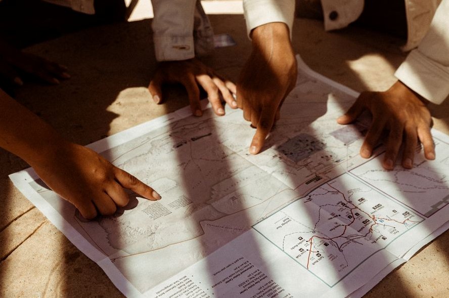
Residential Survey Cost
A topographic survey for a residential lot costs $700–$1,800.
From First Call to Final Results
-
Reach Out
Tell us about the property and what the work is for, you'll get a straight answer, not a sales pitch.
-
We Check the Records
We review what's already on file, records, plans, and prior work, before anyone heads out.
-
Know the Price First
You get the scope and the price in writing before any work starts. No surprises.
-
Fieldwork & Results
You get the finished deliverable, a plain-language explanation, and answers to follow-up questions.
What this typically involves:
- Setting vertical and horizontal control across the site
- Collecting ground shots, breaklines, and every visible feature and utility
What It Typically Costs
These are planning ranges. Nothing is final until it is in writing.
$500–$1500
FAQs
A survey establishes where the line legally sits based on the deeds and the monuments of record, and the sealed plat is the professional opinion a court relies on. It won't force your neighbor to agree, but it replaces guesswork with a defensible, licensed determination, which is usually what resolves the dispute or supports it if it goes further.
It's a form a licensed surveyor completes documenting your building's elevation relative to the base flood elevation. You'll need one to buy or reduce flood insurance in a mapped flood zone, or to support a Letter of Map Amendment if you believe your structure was mapped into a floodplain by mistake.
Yes. Where corners are missing we set stamped iron rods or caps carrying the surveyor's license number, and we flag them so you can find them. The markers are part of the record, moving or destroying them is both a practical problem and, in most states, against the law.
More Questions We Hear
No. A phone's GPS is accurate to several feet at best and isn't tied to your deed or the corner monuments, so the lines those apps draw are approximate and carry no legal weight. Survey-grade GNSS fixes a point to the centimeter against a reference network, a different instrument for a different job.
The property address and, if you have them, a copy of your deed, any prior survey, and your title commitment. Access to walk the property helps, and if there's a specific reason for the survey, a fence, a sale, a building permit, telling us up front lets us scope it right the first time.
Price tracks the work, not the lot size alone. A clean platted lot with good corners is quick; a parcel with missing monuments, conflicting deeds, heavy tree cover, or a metes-and-bounds description takes far more research and field time. We quote after we see the deed and the record, so the number is real.
Usually yes, and often the permit requires it. Building to an assumed line is how encroachment problems start, a fence a foot over the line can cloud a future sale. A current boundary survey shows exactly where you can build and keeps the improvement on your own ground.
It's marking the site so the contractor builds in the right place, offset stakes for the foundation, grade stakes for elevations, and layout for utilities, all set from the engineered plans. It's done in stages as the job progresses, which is why it's usually quoted per visit rather than as one flat fee.
Communities We Cover
We cover Medford, MA. Call (781) 628-7809 to confirm coverage for your address.
You Might Also Need
Where We Stand Before You Call
- Free Estimates
- You get straight answers before you spend a dollar.
- Straight answers, no sales pitch
- Questions get answers, not a close.
Need help today? Call (781) 628-7809.